Page Rim Trail

Page Rim Trail

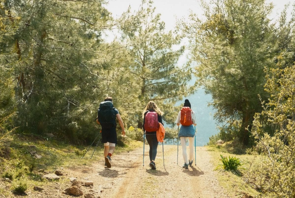
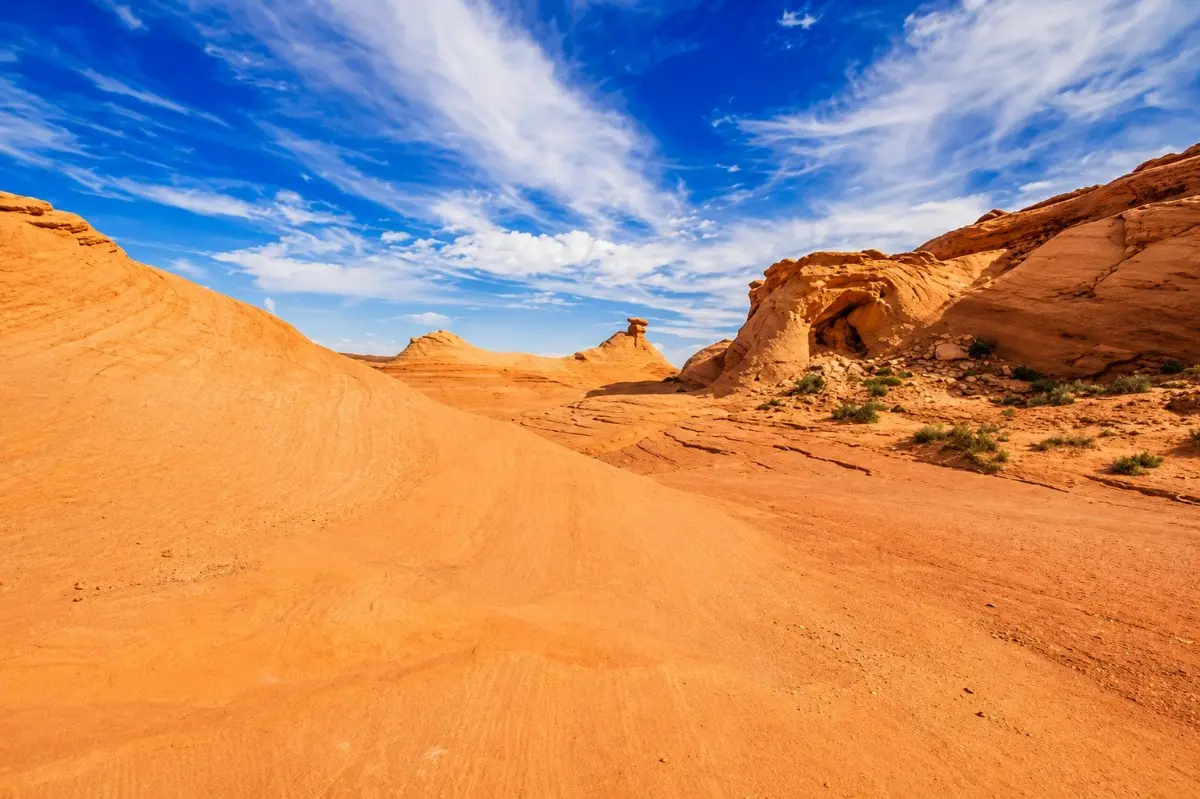
The Page Rim Trail encircles the mesa edge of the city of Page, offering sweeping panoramas of Lake Powell, Glen Canyon, and the surrounding desert. With multiple access points, it suits everything from casual walks to a full half-day loop. The slickrock-and-packed-dirt surface is well-maintained and marked. 1. Trail data: https://www.google.com/maps/search/?api=1&query;=36.914738,-111.447322 HIGHLIGHTS Mesa-edge views, Lake Powell vistas, multiple trailheads, long scenic route BEST PHOTOGRAPHY TIME Early morning (7–9 AM) or late afternoon (4–6 PM) for warm sidelight on sandstone mesas GEAR REQUIREMENTS Trail runners or hiking boots, 2+ L water, sun hat, sunscreen. No shade on exposed sections. COORDINATES 36.914738, -111.447322 → Open in Maps

Page Rim Trail

Horseshoe Bend Trail

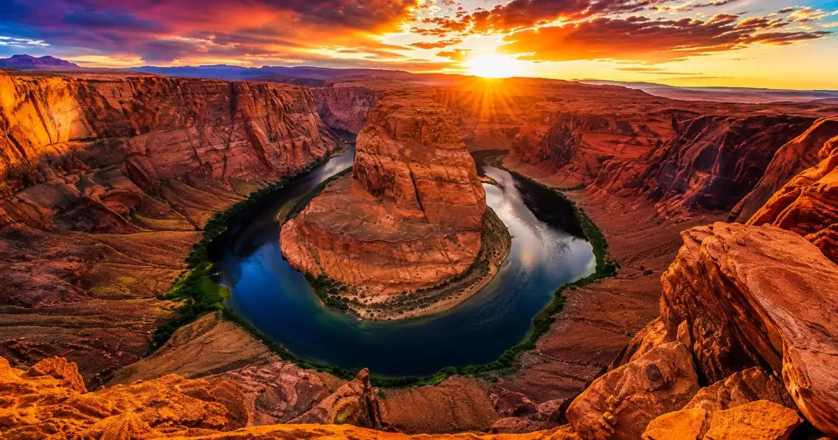
HIGHLIGHTS Iconic Colorado River overlook, 1,000-ft canyon walls, broad panorama, popular sunset stop BEST PHOTOGRAPHY TIME Sunrise (6–7:30 AM) for dramatic light inside the bend; late afternoon shadows add depth. Midday light is harsh. GEAR REQUIREMENTS Closed-toe shoes, 1 L water minimum, sun protection. Overlook edge is unguarded — keep children close. COORDINATES 36.876864, -111.502874 → Open in Maps One of the American Southwest's most-photographed vistas, Horseshoe Bend is a near-perfect 270-degree meander of the Colorado River carved into Navajo sandstone. A paved path leads from the parking lot to a fenced overlook, making it

Horseshoe Bend Trail
Hanging Garden Trail

Hanging Garden Trail

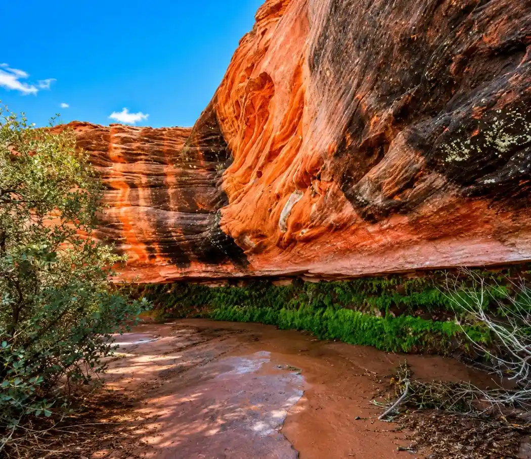
HIGHLIGHTS Spring-fed hanging garden, sandstone alcove, shaded microclimate, wildflowers BEST PHOTOGRAPHY TIME Mid-morning (9–11 AM) when diffuse light fills the alcove evenly without harsh shadows GEAR REQUIREMENTS Hiking shoes (rocky path), 1 L water, light layers — the alcove stays cool even in summer. COORDINATES 36.936812, -111.476232 → Open in Maps A spring-fed oasis tucked into a red-rock alcove, the Hanging Garden is one of Page's most surprising and least-crowded natural gems. Water seeps through the sandstone, sustaining ferns, mosses, and wildflowers — a lush microclimate completely at odds with the surrounding desert. The short trail gains modest elevation over rocky terrain.

Hanging Garden Trail

Sunset Arch

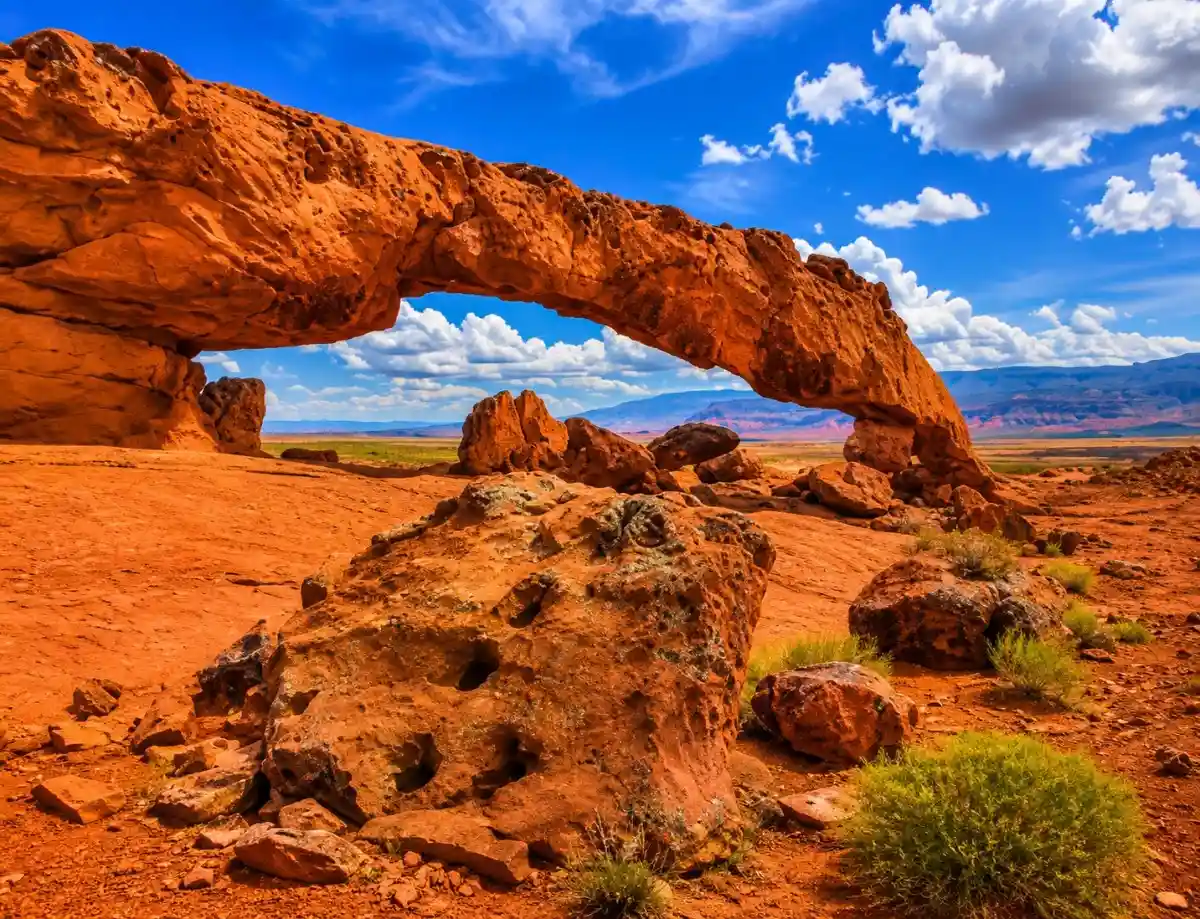
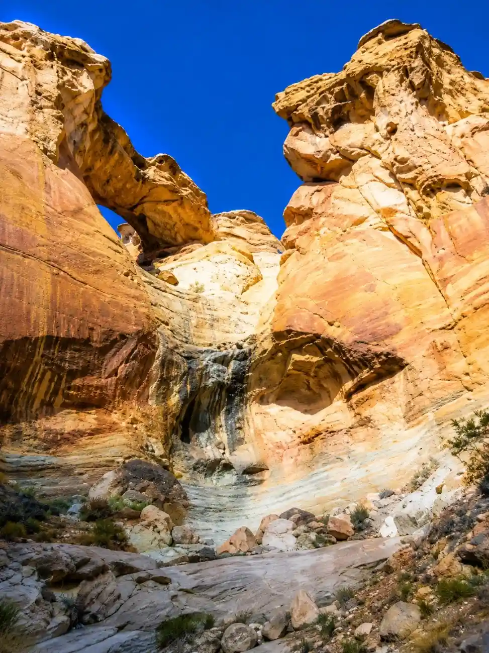
HIGHLIGHTS 100-ft natural arch, slickrock scenery, sunset photography, backcountry feel BEST PHOTOGRAPHY TIME Sunset (7–8:30 PM in summer) — the arch frames a golden western sky; also excellent at sunrise when viewed from the east side of the arch GEAR REQUIREMENTS Hiking boots, 2 L water, GPS or offline map (unmarked cross-country route), sun protection. Hole-in-the-Rock Road requires high clearance when wet. Photo: The American Southwest COORDINATES 37.2822, -111.4302 → Open in Maps Sunset Arch is a large, elegant natural arch spanning nearly 100 feet, set dramatically on the slickrock of the Escalante backcountry. The approach crosses open desert and sandstone slabs with no formal trail — route-finding skills are required. Named for the warm colors it displays at dusk, the arch is a favorite of landscape photographers who make the journey down Hole-in-the-Rock Road. 14. Trail data: https://www.google.com/maps/search/?api=1&query;=Sunset+Arch+Trailhead+Utah

Sunset Arch
Sunset Arch
Wiregrass Canyon

Wiregrass Canyon

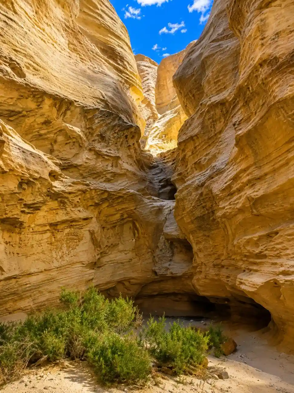
IGHLIGHTS Sandy wash, narrows, natural arch, dryfall, mild scrambling BEST PHOTOGRAPHY TIME Midday is acceptable inside the canyon for even indirect light; early morning for golden canyon entrance shots GEAR REQUIREMENTS Hiking shoes with ankle support, 2 L water, light gloves in spring/fall. May require minor scrambling at dryfalls. COORDINATES 37.077617, -111.589102 → Open in Maps Wiregrass Canyon is a sandy wash hike that transitions into a mild narrows experience inside Glen Canyon NRA. The route follows the wash bottom through increasingly narrow walls, passing a large natural arch before reaching a dramatic dryfall. Straightforward route-finding and modest physical demands make it an approachable introduction to desert wash hiking. 7. Trail data: https://www.google.com/maps/search/?api=1&query;=37.077617,-111.589102

Wiregrass Canyon

Beehives Trail (The New Wave)

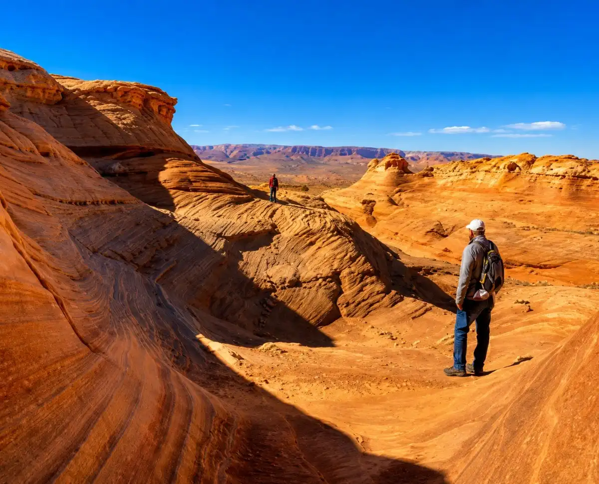
HIGHLIGHTS Honeycomb sandstone, slickrock walking, Lake Powell views, no permit required BEST PHOTOGRAPHY TIME Overcast mornings produce the most even tones on the swirling sandstone — or golden hour for warm saturated colors GEAR REQUIREMENTS Sturdy shoes (slickrock scrambling), 1 L water, no trekking poles needed. Avoid after rain — slickrock becomes slippery. COORDINATES 36.937927, -111.496877 → Open in Maps

Beehives Trail (The New Wave)
Peek-a-Boo & Spooky Gulch

Peek-a-Boo & Spooky Gulch

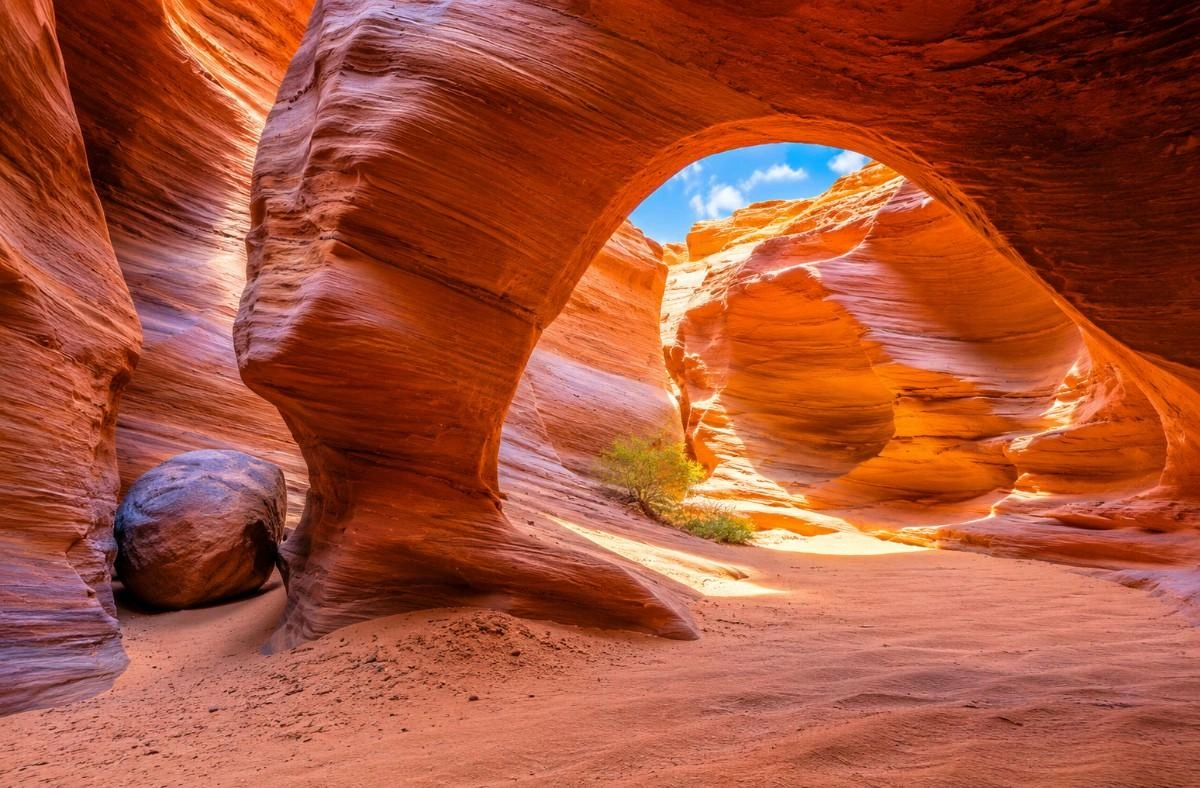
HIGHLIGHTS Dramatic narrows, shoulder-width slots, hand/foot carved holes, premier canyon adventure BEST PHOTOGRAPHY TIME Midday (11 AM–2 PM) for rare direct light entering the narrowest slot sections; overcast days produce even, non-contrasty tones throughout GEAR REQUIREMENTS Hiking shoes with grip soles, 2 L water, slim backpack (Spooky Gulch narrows to 10 inches), headlamp, gloves for chimney moves. High-clearance vehicle for Hole-in-the-Rock Road. No service. COORDINATES 37.5574, -111.5010 → Open in Maps Peek-a-Boo and Spooky Gulch together form the signature slot canyon adventure of the Escalante backcountry. Peek-a-Boo is a colorfully banded canyon requiring upclimbing through carved hand-and-foot holes. Spooky Gulch is narrower than shoulder-width in multiple sections, requiring hikers to turn sideways and chimney through. The loop connecting both canyons crosses open desert and soft sand — high-clearance access on Hole-in-the-Rock Road is required year-round. 16. Trail data: https://www.google.com/maps/search/?api=1&query;=Lower+Dry+Fork+Trailhead+Utah

Peek-a-Boo & Spooky Gulch

Blue Pool Arch

HIGHLIGHTS Sandstone arch, desert ridge scenery, long views, pairs with Blue Pool Wash BEST PHOTOGRAPHY TIME Late afternoon (3–5 PM) for warm sidelight through the arch opening; overcast skies reduce contrast challenges GEAR REQUIREMENTS Sturdy hiking boots, 2 L water, GPS/offline map essential (no trail markings), sun hat. Higher overall exposure than Blue Pool Wash. COORDINATES 37.0280, -111.5790 → Open in Maps The Blue Pool Arch hike extends the Blue Pool Wash experience into a longer desert ridge route. After leaving the slot canyon, the trail climbs onto open sandstone benches offering sweeping views before arriving at a freestanding sandstone arch. The arch frames distant canyon and plateau scenery. Unmarked cross-country navigation is required — bring a downloaded GPS track. 9. Trail data: https://www.google.com/maps/search/?api=1&query;=Blue+Pool+Arch+Big+Water+UT

Blue Pool Arch
Blue Pool Arch
White Pocket

White Pocket

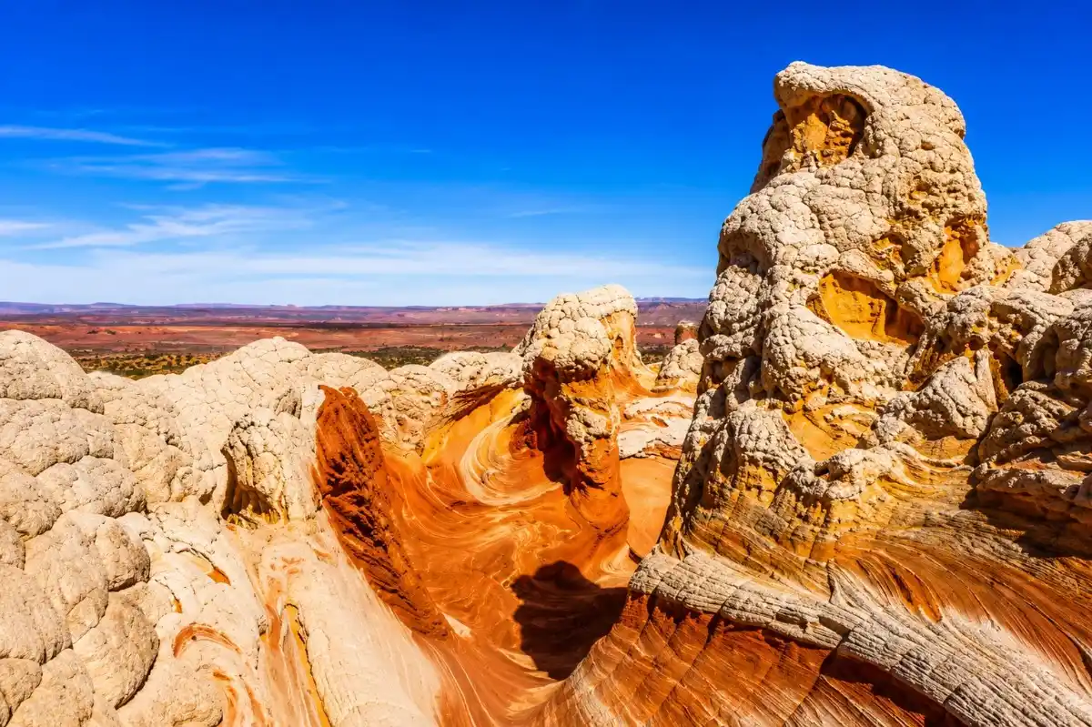
HIGHLIGHTS Swirling sandstone, white-and-red formations, otherworldly landscape, highly photogenic BEST PHOTOGRAPHY TIME Sunrise (6–7:30 AM) and sunset (6:30–8 PM) for dramatic raking light on white-and-red swirling formations; blue hour adds surreal tones GEAR REQUIREMENTS 4WD high-clearance vehicle mandatory (deep sand access road), tire deflation recommended. Bring extra water (2+ L), spare tire, recovery gear. No services for 50+ miles. COORDINATES 36.955011, -111.893296 → Open in Maps Page 9 Trails of Page, Arizona & Grand Staircase–EscalanteWhite Pocket is one of the American Southwest's most extraordinary and photogenic geological formations — a landscape of swirling white, cream, and rust-red sandstone that looks like a painting. It sits on BLM land inside the Paria Canyon–Vermilion Cliffs Wilderness. The walk across the rock is easy; reaching it is not. A deep sand road requires a 4WD vehicle, deflated tires, and preferably a guide or experienced off-road driver. Permits have been proposed — check current BLM requirements before visiting. 10. Trail data: https://www.google.com/maps/search/?api=1&query;=36.955011,-111.893296

White Pocket

Toadstool Hoodoos

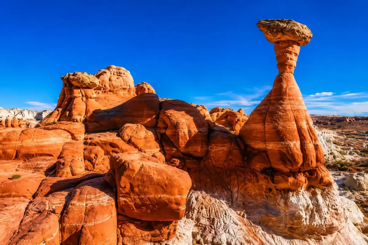
HIGHLIGHTS Mushroom hoodoos, colorful badlands, photogenic, very accessible from Hwy 89 BEST PHOTOGRAPHY TIME Sunrise and golden hour sunset — the hoodoos cast long shadows across the colorful badlands, creating dramatic depth GEAR REQUIREMENTS Trail shoes, 1.5 L water, sun protection. Short but exposed with no shade. Route crosses open badlands — easy to follow. COORDINATES 37.0722, -111.8811 → Open in Maps The Toadstool Hoodoos trail winds through colorful badlands of the Grand Staircase–Escalante National Monument, leading to a cluster of classic mushroom-shaped hoodoos. The trail begins off Highway 89 and crosses soft purple and grey bentonite clay before reaching the hoodoos perched on pedestals of harder rock. One of the best short hikes near Big Water, especially for photographers. 11. Trail data: https://www.google.com/maps/search/?api=1&query;=Toadstool+Hoodoos+Trailhead+Utah

Toadstool Hoodoos
Toadstool Hoodoos