Dam Overlook Trail

Dam Overlook Trail

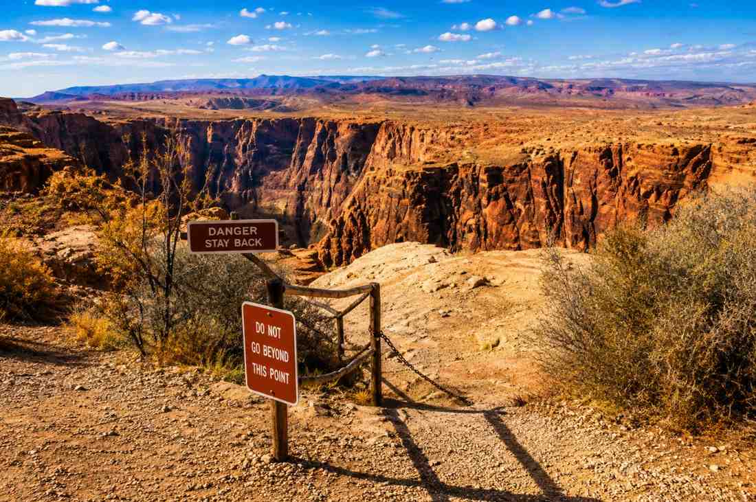
HIGHLIGHTS Glen Canyon Dam views, Colorado River, canyon walls, fully accessible BEST PHOTOGRAPHY TIME Mid-morning (9–10:30 AM) when the dam face is fully lit; late afternoon for warm reflections on the Colorado River below GEAR REQUIREMENTS Any footwear, minimal water. A very short flat walk — entirely accessible. COORDINATES 36.9319, -111.4843 → Open in Maps A paved walkway from the Carl Hayden Visitor Center leads to a railed overlook directly above Glen Canyon Dam. The view encompasses the 710-foot concrete arch dam, the turquoise Colorado River downstream, and the canyon walls rising on either side. One of the easiest and most dramatic viewpoints in the region. 5. Trail data: https://www.google.com/maps/search/?api=1&query;=Glen+Canyon+Dam+Overlook+Page+AZ

Dam Overlook Trail

Willis Creek Narrows

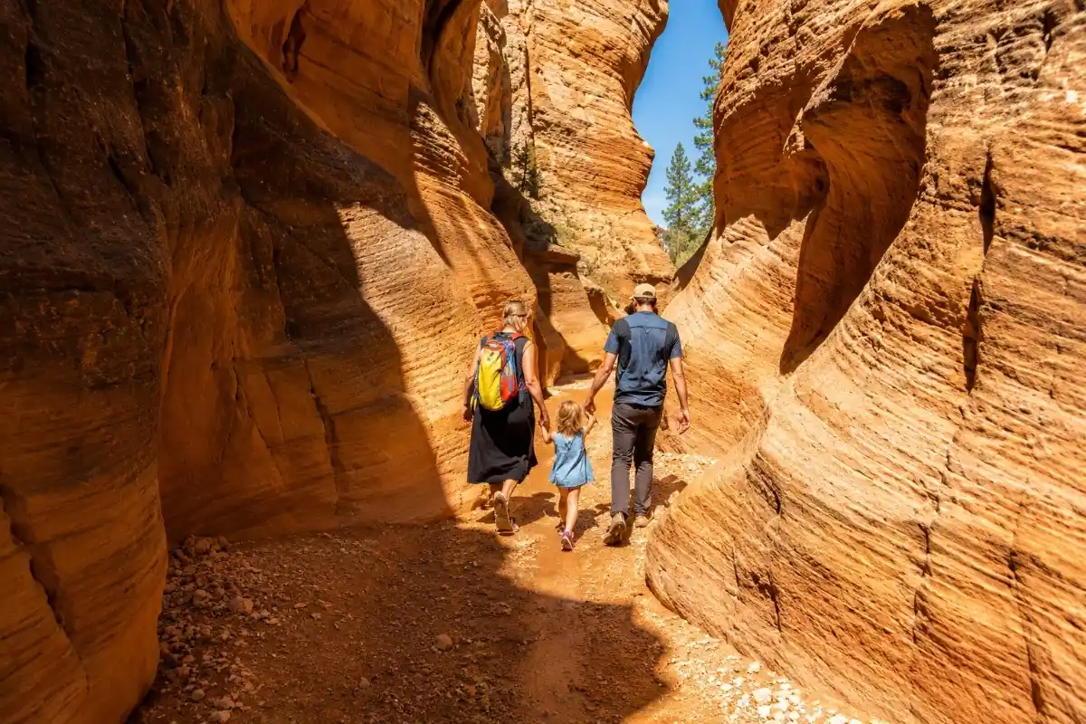
HIGHLIGHTS Creek walking, narrow slot walls, family-friendly, rich canyon colors BEST PHOTOGRAPHY TIME Midday (11 AM–2 PM) is ideal — overhead light filters into the narrow canyon and reflects off the creekside walls with soft, indirect illumination GEAR REQUIREMENTS Waterproof hiking shoes or trail runners (creek crossings required), 2 L water, trekking poles for stability. Avoid after heavy rain — flash flood risk. COORDINATES 37.5232, -112.0684 → Open in Maps Page 12 Trails of Page, Arizona & Grand Staircase–EscalanteWillis Creek Narrows is widely regarded as one of Utah's most family-friendly slot canyon hikes. The trail follows Willis Creek as it winds through increasingly narrow sandstone walls, with easy creek crossings and no technical scrambling required. The canyon walls rise dramatically overhead and are richly colored in shades of orange, pink, and tan. Access requires a high-clearance vehicle on an unpaved road. 12. Trail data: https://www.google.com/maps/search/?api=1&query;=Willis+Creek+Trailhead+Utah

Willis Creek Narrows
Wire Pass Trail

Wire Pass Trail

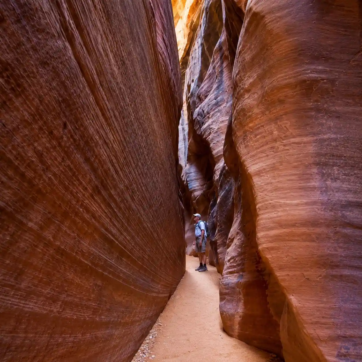
HIGHLIGHTS Dramatic narrow slot, gateway to Buckskin Gulch, light shafts, permit required BEST PHOTOGRAPHY TIME Midday (11 AM–1 PM) when light shafts penetrate the narrowest sections; overcast produces even, glowless color GEAR REQUIREMENTS Hiking boots with ankle support, 1.5 L water, permit required (day use fee), headlamp. Narrow sections require turning sideways. Avoid entirely with rain in forecast. COORDINATES 37.0491, -112.0051 → Open in Maps Wire Pass is a short but spectacular slot canyon leading to the entrance of Buckskin Gulch — the world's longest slot canyon. The slot tightens quickly, with walls rising 100+ feet and narrowing to less than 2 feet in places. A day-use permit and fee are required. The trailhead is shared with Coyote Buttes (The Wave) — arrive early to beat the crowds.

Wire Pass Trail

Stud Horse Point Trail

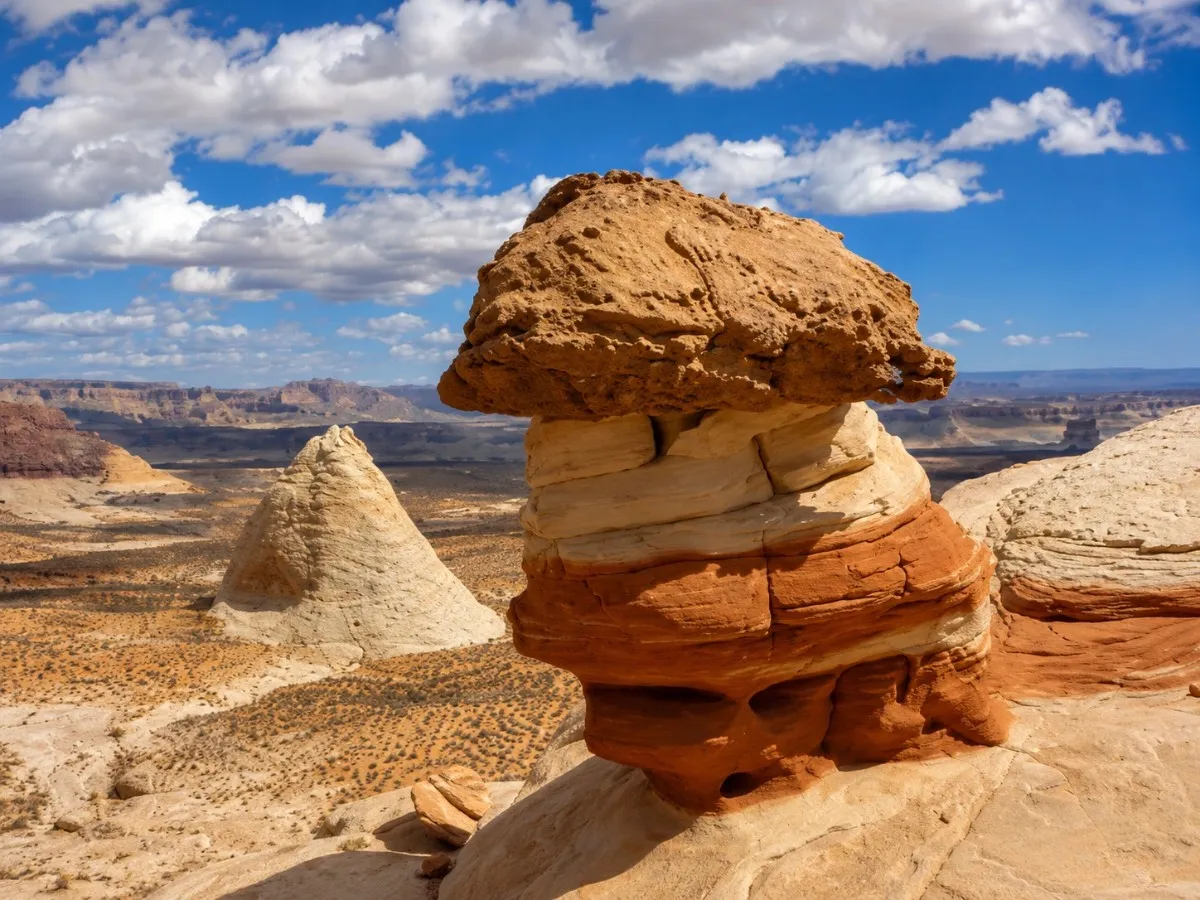
HIGHLIGHTS Hoodoo field, Lake Powell views, open desert, flexible route options BEST PHOTOGRAPHY TIME Sunrise and sunset — the red-and-orange hoodoos glow intensely in low-angle light; avoid midday GEAR REQUIREMENTS High-clearance vehicle recommended for the access road, hiking boots, 2+ L water, GPS or downloaded offline map. No shade whatsoever. COORDINATES 37.0041, -111.4512 Photo: The American Southwest → Open in Maps A loose network of desert tracks leads through a spectacular hoodoo field north of Page. The sculpted towers of rust-colored sandstone rise 20–40 feet and frame views of Lake Powell shimmering to the south. Routes are informal and unmarked — download an offline map before visiting. The access roads require high clearance, especially after rain. 6. Trail data: https://www.google.com/maps/search/?api=1&query;=Stud+Horse+Point+Trailhead+Page+AZ

Stud Horse Point Trail
Blue Pool Wash

Blue Pool Wash

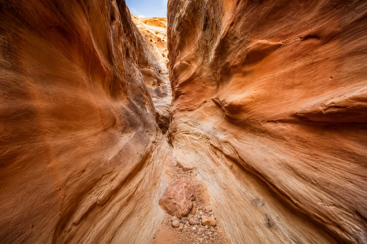
HIGHLIGHTS Narrow slot walls, sculpted sandstone, reflective blue pool (seasonal), adventure route BEST PHOTOGRAPHY TIME Midday (11 AM–2 PM) when light penetrates vertically into the narrow slot walls, illuminating the sculpted sandstone GEAR REQUIREMENTS Hiking shoes, 1.5 L water, thin gloves for canyon wall grip, headlamp if exploring deeper sections. No rope needed for standard route. COORDINATES 37.0280, -111.5790 → Open in Maps Blue Pool Wash is a short but adventurous slot canyon route best suited to hikers comfortable with route-finding on unmarked terrain. Sculpted sandstone walls narrow to shoulder-width in places, and the route involves mild downclimbing. The 'blue pool' — a reflective catch basin — appears in wet seasons and creates stunning photographic opportunities. Parking is south of the US-89 bridge between mileposts 3 and 4. 8. Trail data: https://www.google.com/maps/search/?api=1&query;=Blue+Pool+Wash+Big+Water+UT

Blue Pool Wash

Lower Calf Creek Falls

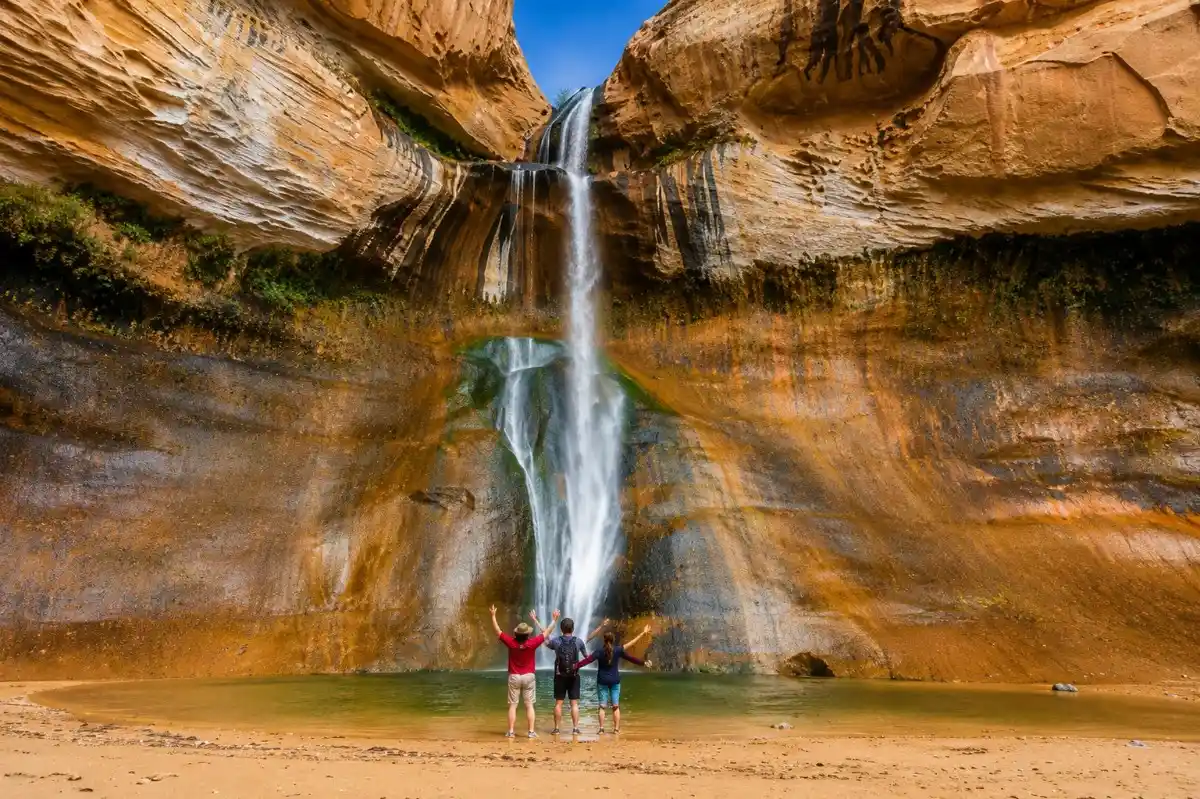
HIGHLIGHTS 126-foot waterfall, swimming pool, rock art, ancient granaries, cottonwoods BEST PHOTOGRAPHY TIME Late morning to midday (10 AM–1 PM) — the falls face north and benefit from diffuse light. Avoid late afternoon when the canyon falls into shadow. GEAR REQUIREMENTS Sturdy hiking shoes, 2.5 L water (exposed sandy trail), trekking poles, sunscreen, swimwear for the pool. Day-use fee applies. No dogs allowed. COORDINATES 37.7957, -111.4172 → Open in Maps One of the monument's crown jewels, Lower Calf Creek Falls drops 126 feet into a natural pool surrounded by lush hanging gardens, cottonwoods, and towering canyon walls. The trail follows Calf Creek through a canyon of layered red and white sandstone, passing ancient Fremont granaries and Native American rock art panels. The destination is unmistakably worth every step of the sandy, sun-exposed approach. 15. Trail data: https://www.google.com/maps/search/?api=1&query;=Lower+Calf+Creek+Falls+Trailhead+Utah

Lower Calf Creek Falls